Wadjemup Aboriginal Burial Ground Memorialisation
Overview
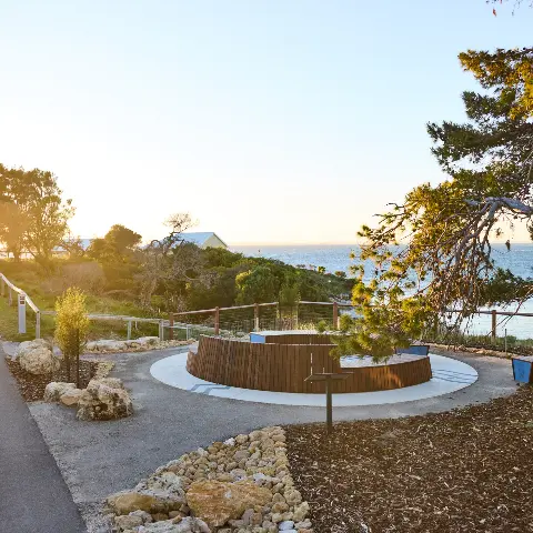
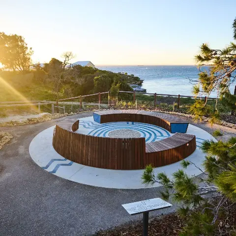
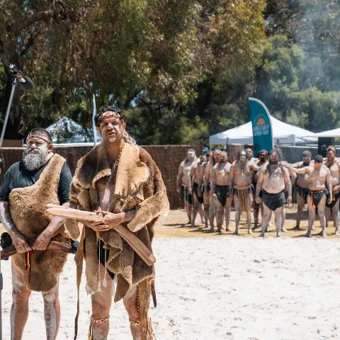
The memorialisation of the Wadjemup Aboriginal Burial Ground (WABG) is a key part of Stage Two of the Wadjemup Project. Aligned with the Rottnest Island Management Plan 2023-28, this project aims to respectfully honour the Aboriginal men and boys who died in custody on Wadjemup between 1838 and 1931.
In 2024, statewide consultation with Aboriginal communities guided the approach to memorialisation, and ground penetrating radar surveys were completed to confirm the Burial Ground’s extent. Detailed design and delivery will commence in 2025.
Key benefits
Ground penetrating radar
Ground penetrating radar (GPR) is an established geophysical method that transmits radio wave pulses into the ground to stud what is subsurface. It does not disturb the ground and is a useful method of identifying utilities such as pipes, cables, and potential burials.
The boundary for the Wadjemup Aboriginal Burial Ground (WABG) has been mapped over multiple decades through collaboration between Aboriginal representatives, state government agencies and professional heritage practitioners (including anthropologists, historians and scientists).
In 2023, further ground penetrating radar assessments were conducted in proximity to the existing boundaries of the Aboriginal Burial Ground and Quod. These scans revealed anomalies within the soil that indicate additional burial sites.
In January and July 2024, RIA carried out additional surveys to reconfirm the extent of the Wadjemup Aboriginal Burial Ground, as requested by the Wadjemup Project Steering Group. Confirming the boundaries of the Burial Ground is a key milestone of the Wadjemup Project.
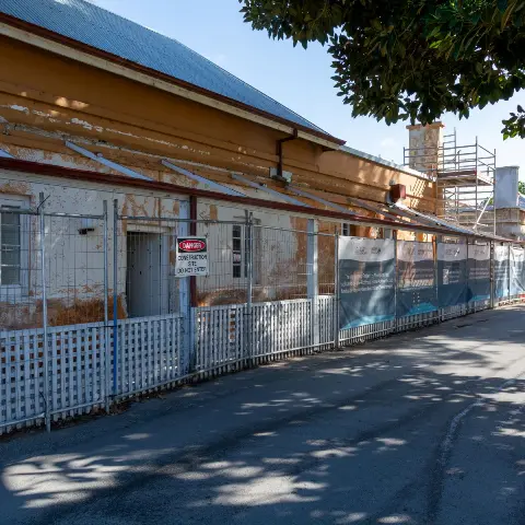
Further GPR was undertaken in the second half of 2024 following the demolition of intrusive houses abutting the Burial Ground.
Download the reports
- 1991 Trial Ground Probing Survey Report (4.32 MB PDF)
- 1992 Ground Probing Radar Survey Report (5.58 MB PDF)
- 1993 Ground Probing Radar Survey (9.63 MB PDF)
- 2005 GPR Survey Report (1.33 MB PDF)
- 2019 GPR Survey Report Lodge Site (6.57 MB PDF)
- 2021 GPR Survey Report Heritage Common (845 KB PDF)
- 2024 WABG Geophysical Investigation Stage 1 (5.56 MB PDF)
- 2024 WABG Geophysical Investigation Stage 2 (5.34 MB PDF)
- 2024 WABG Geophysical Investigation Stage 3 (5.92 MB PDF)
- 2025 GPR Survey Report Garden Lake (3.37 MB)
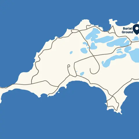
Location
Frequently asked questions
Contact and further information
Funding
